HikingThe hiking destination of the Zillertal
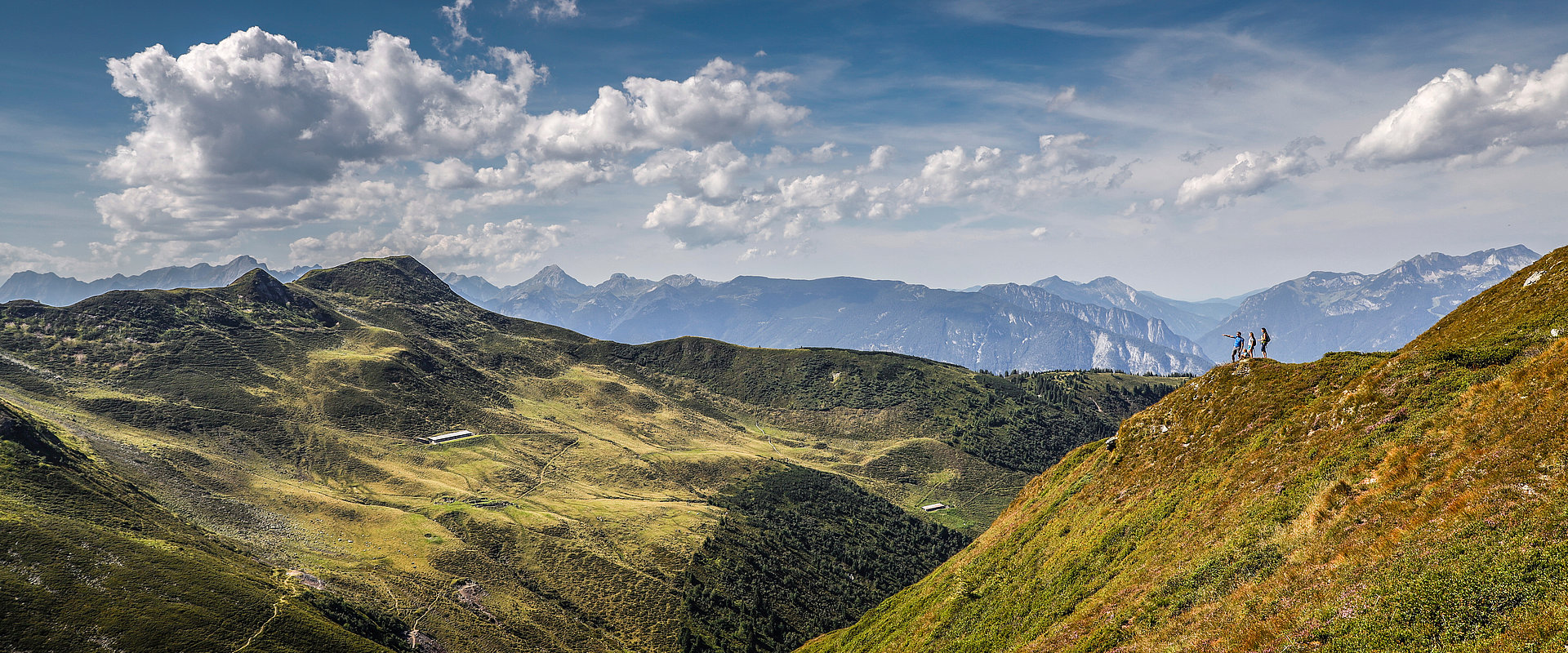
The largest and probably most diverse hiking destination in Tyrol is undoubtedly the Zillertal. Over 1,400 km of hiking paths attract many hiking enthusiasts and mountain climbers to the Zillertal in summer. Everything is offered here from theme or hill farm hikes to challenging summits tours. You will find hiking tours in all difficulty levels and at all elevations. For beginners, families with children, and advanced mountain climbers, the most active valley in the world offers countless hiking routes.
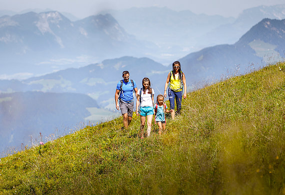
Easy family hikes for families with younger children
In the Zillertal, there are more than 30 exciting theme and adventure paths with interesting topics. On nature trails, you can learn about the cultural, historical, or culinary aspects of our valley on leisurely walks. A hike on an adventure trail is especially recommended for children: exciting stories combined with movement in the fresh air. The easy hikes lead along the valley floor with few inclines.
Tour tip
From Stumm via Ried to Uderns and back
- Difficulty level: easy, suited for children's strollers
- Time-on-trail / length: ca. 2,5 hours / ca. 10 km
- Start: Paulerhof in Stumm
- Refreshment opportunities: Der Metzgerwirt, Standlhof, uvm.
- Equipment: sneakers, possibly hiking poles
This easy family hike leads from Stumm via Ried to Uderns and back. From Stumm, you head in the direction of Kaltenbach. Before you reach the town, turn right on the path along the Ziller. The hiking path leads downstream along the Ziller Promenade through the magnificent Zillertal to Uderns. You will cross the Ziller here and follow the path upstream on the left bank.
This is a family-friendly loop trail with 10 km that can be easily hiked in sneakers. After 2.5 hrs., you will be back in Stumm if you don't stop at one of the numerous refreshment opportunities along the path.
More challenging hikes for advanced hikers
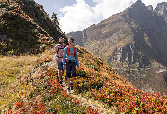
Mountain fans will find crystal-clear mountain lakes, fresh mountain air, and green meadows with alpine herbs and flowers in the Zillertal. The hut hosts prepare delicious Zillertal specialties (Zillertal donuts, Melchermus, Kaiserschmarrn pancakes ...) and at the hill farms, there is fresh hay milk and buttermilk. Many of the wonderful hikes to green hill farms and rustic huts begin right at the Paulerhof. The hiking routes to the farms or huts lead through Alpine regions, so come equipped with sturdy shoes and rain protection.
Tour tip
Almluft snack station
- Difficulty level: intermediate
- Time-on-trail / length: ca. 2 hours / ca. 8 km
- Start: Paulerhof in Stumm
- Refreshment opportunities: Almluft snack station
- Equipment: loafers or sneakers, possibly hiking poles
This intermediate hike, which is also easily accessible with children, leads to the Almluft snack station. From Stumm, the path leads in a northern direction past the Antoniuskapelle along the hillside and the Märzenbach through the forest to the snack station.
Even though this hike includes some steeper sections, all paths are secure and paved, thus you can hike along this path in loafers or sneakers and reach the Almluft snack station in 2 hours.
Summit tours of expert alpinists
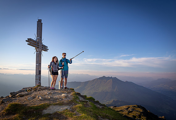
Challenging summit tours lead up to the summits of the Tux Alps or the Kitzbühel Alps or in the south the Zillertal Alps. They are recommended only for experienced hikers with good mountain equipment. The upper Zillertal and the mountain climbing village of Ginzling are popular for their diverse high alpine mountain tours at elevations of over 3,000 m. Mountain climbers in good physical shape are also delighted by the multi-day tours from hut to hut or over ice and glacier.
Tour tip
Wetterkreuzsspitze
- Difficulty level: difficult
- Time-on-trail / length: ca. 7 hours / ca. 14 km
- Start: Paulerhof in Stumm
- Refreshment opportunities: Hochalm
- Equipment: complete mountain equipment, sturdy mountain boots
A real summit hike is the hike to the Wetterkreuzspitze at an elevation of 2245 m. The path leads via Kaltenbach and past Ried on the Riedberg through wooded and later rocky terrain up to the Wetterkreuzspitze. There are 1700 vertical meters to conquer over a length of 14 km. Complete mountain equipment and sturdy mountain boots are essential.
